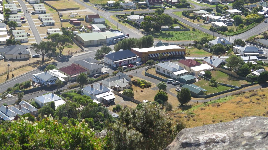
A row of quaint shops erected in Stanley in the late 1800s
Located in Far North West Tasmania, Circular Head municipality – The Edge Of The World – covers an area of 4,917km2.
The municipality gained its name from the unusual land formation commonly known as “The Nut” at Stanley, the solidified lava lake of a long – extinct volcano. The Nut was sighted by Bass & Flinders on their historic circumnavigation of Tasmania in 1798.
Circular Head’s beautiful, unspoilt coastline is one of the longest in the State and it’s rich, red–brown fertile soils, coupled with a gently undulating landscape, support 33 per cent of Tasmania’s dairy farms. Other key industry sectors include commercial fishing and aquaculture, forestry, manufacturing, prime beef production, agriculture and tourism.
Magic Moments in and around Stanley
Taking the chairlift to the top of The Nut, enjoying the fabulous view, and seeing a shy family of pademelons
Cruising the pristine Arthur River on the MV George Robinson, meeting the sea eagles, and a tiger quoll

Exploring the historic buildings around Stanley

Highfield Historic Site was built from 1832 to 1835 for the chief agent of the Van Diemen’s Land Company.


Left -The office of Van Diemen’s Land Company, established in Stanley in 1826.
Right – The home where Joseph Lyons, the only Tasmanian Prime Minister of Australia, was born.

Picturesque restored buildings in the main street of Stanley
Read more of our time in Stanley here
Read more of our cruise on the Arthur river here
Read about the food on the West Coast here