Our 4WD truck/coach that will take us into Palm Valley and the Finke Gorge National Park
22 July 2015
This morning we were collected at 7.25am for our two hour drive west to the Finke Gorge National Park. Starting off along the Stuart Highway we turned south off Larapinta Drive. Access along the last 16km of road, which follows the sandy bed of the Finke River, is limited to high clearance 4WD vehicle only. Heavy rains may cause this section of the road to be impassable. Needless to say it was a rocky drive once we reached Palm Valley, and our first stop was to look at the Cycad Gorge and the cycads that have been growing in the area for millions of years. The sandstone cliffs were an amazing sight, early in the morning they appeared as light and dark chocolate, but as the sun rose the colours turned to cinnamon and paprika.
Finke Gorge National Park covers an area of 46,000 hectares, and includes the impressive Palm Valley. Palm Valley is home to a diverse range of plant species many of which are rare and unique to the area, including the Red Cabbage Palm for which the Park is well known. This species of Palm is restricted to this area, having a population of around 3,000 adult plants. The Park and nearby areas hold cultural significance to the Western Arrernte Aboriginal people as well as displaying evidence of early European settlement of central Australia.
Finke Gorge National Park is yet another gem to be discovered in the West MacDonnell Ranges. Palm Valley is a remnant of the rain forests that once covered our ancient continent and now acts as the last niche for a diverse range of plant species.
The strange formations of the Amphitheatre are also worth viewing and are a favourite subject for visiting artists. But a short walk along some of the well-marked trails around Palm Valley will be rewarding for anyone.
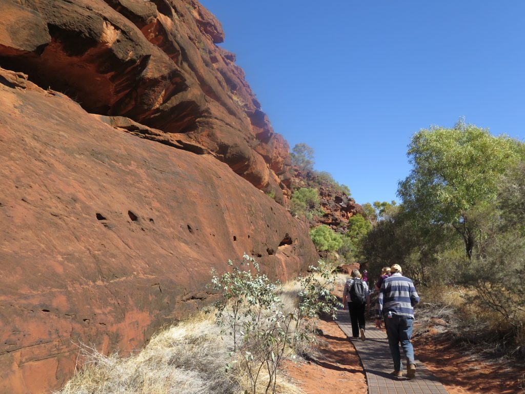
After leaving the Gorge the “road” became extremely rocky, in fact we ran out of road and were driving over the rocky bed of a dry creek, at some times at walking pace. We finally reached the start of the Arankaia Walk and the Mpulungkinya Walk, so we stopped in the clearing and had our morning tea before we set off. By this time the weather was starting to warm up, so another layer of clothing came off. Arankaia Walk and the longer Mpulungkinya Walk meander among lush, slender palms, returning across a scenic plateau.
A few brave souls chose to walk the Mpulungkinya Walk which climbs to a very high point, whereas the Arankaia Walk follows the valley floor. Naturally we saw lots of the Red Cabbage Palms, and those amazing sandstone cliffs. By the time we got to the end of the walk we had met up with the few people who chose the higher route, and walked back along the valley floor to the coach.
By this time we were getting hungry, our guide had organised a packed lunch of bread rolls, juice, fruit and cookies, very welcome after a fairly long walk on a glorious sunny day.
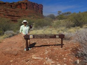
Then back on to the coach to drive (rock and roll again!) the short distance to the Kalarranga Lookout. It is only a short walk, but quite steep when you approach the top, but the 360 degree view is quite spectacular.
Most of the group made it to the top although it got a little tricky at the end, however lots of friendly hands to help you up or down when needed! The flora is amazing, to think it can survive the harsh environment, and the dry and wet seasons. And the very hardy spinifex seems to grow everywhere.
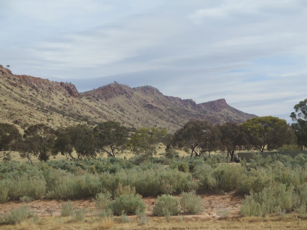
The afternoon was moving on and we were heading to Hermannsburg, but on the way had the opportunity for a photo shoot of Mt Sonder, the highest point in the West MacDonnell Ranges. It marks the western end of the Larapinta Trail, a 223 kilometres walking trail that extends from Alice Springs. One can walk the challenging trail to the top of Mt Sonder, at 1,380 metres above sea level, for spectacular views across the ranges and the surrounding plains. However we were happy to just look at it, and hear the story of the legend of Mt Sonder which to the Aboriginal people represents a pregnant woman lying on her back. She had broken the tribal laws and had a relationship with a man from another tribe, so her punishment was to lie down in the desert, where she turned into stone.
Our last stop was at Hermannsburg Historic Precinct, the first Aboriginal Mission in the Northern Territory. It was established by the Lutheran Church in 1877 on the traditional lands of the Western Aranda people. In its early years the Mission was funded by the Hermannsburg Institute of Germany, which trained and sponsored the first missionaries.
Hermannsburg was abandoned by its founders in 1891 but three years later was purchased by the Immanuel Synod of South Australia, and the branch of the Church operated the Mission continuously for the next 88 years. In 1982 the control of the Mission lands was restored to the traditional Aranda owners under the Aboriginal Lands Rights Act. Today the former Mission lease of 390,000 hectares is divided into five separate areas based on traditional family associations with the land.
Although we didn’t enjoy the rough 4WD drive over the rocks of the Finke Gorge National Park, the scenery we were able to enjoy was, in true Northern Territory style, quite spectacular and beautiful and made our last day tour a very special one.
Tomorrow, sadly, we pack our bags and reboard the Ghan to travel overnight to Adelaide, then home.


